
More than half of the U.S. population will face snow, sleet, or freezing rain at the same moment Sunday as a “monster” winter storm smashes the South, Midwest, and Northeast with up to two feet of snow and paralyzing ice.
Why This Storm Is Historic
At its peak on Sunday, 55 % of all Americans—roughly 185 million people—will simultaneously contend with snow, sleet, or freezing rain, Washington Post meteorologist Ben Noll posted. That level of synchronized wintry misery has only been recorded twice since modern satellite tracking began in 1960, making Winter Storm Fern a benchmark event for insurers, supply-chain managers, and emergency planners.
Timeline: When the Wall of Snow Arrives
- Friday, Jan. 23: Heavy snow explodes across the Texas Panhandle, Oklahoma, and Kansas; freezing rain grips Arkansas and Tennessee.
- Saturday, Jan. 24: The blizzard pivots into the Appalachians; ice accretes along I-40 from Nashville to Raleigh.
- Sunday, Jan. 25: The storm “bombs out” off the Mid-Atlantic coast, hurling 1–2 feet of snow at Washington, Baltimore, Philadelphia, and New York City.
- Monday, Jan. 26: Snow tapers in New England, but hurricane-force wind gusts whip snow into drifts that close I-95 north of Boston.
Snowfall Forecast by Region
- Southern Plains: 6–12 inches in central Oklahoma; up to 18 inches on the Ozark Plateau per AccuWeather.
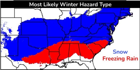
- Mid-South: 3–6 inches along I-40 in Arkansas and Tennessee; 0.25–0.50 inches of ice south of the interstate.
- Appalachians: 12–24 inches across West Virginia and western Virginia; blizzard warnings likely.
- Mid-Atlantic: 12–20 inches for D.C. to New York City corridor; snow rates of 2 inches per hour overnight Sunday.
- New England: 6–12 inches tapering to 3–6 inches in Maine; winds gusting 60 mph create white-out conditions.
Travel Disruption Index: Code Red
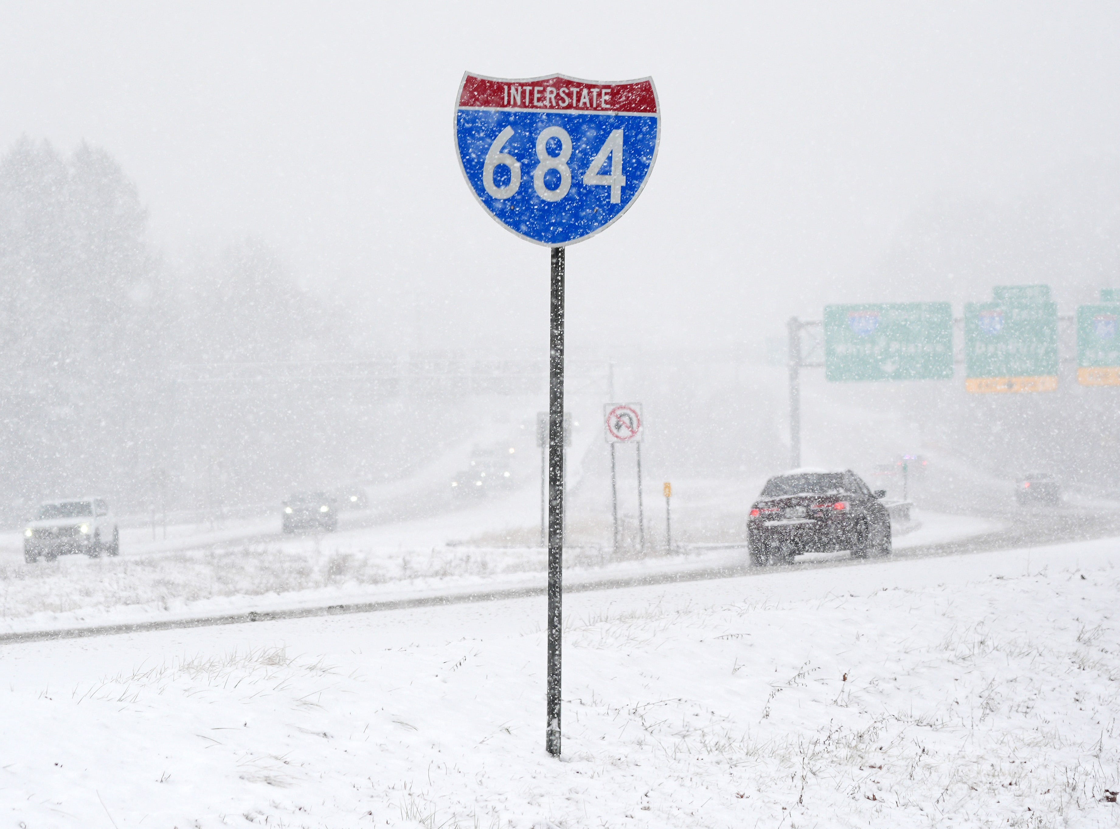
Every major east-west artery faces simultaneous closure risk. Weather.com warns that I-20, I-30, and I-40 could all ice over within a six-hour window, stranding truckers and holiday travelers. Airlines have already pre-cancelled 1,400 weekend flights; Amtrak will suspend D.C.–Boston service from Saturday night through Monday morning.
Economic Shockwaves
Retailers counting on Super-Bowl-weekend shoppers stand to lose $2.3 billion in sales, according to Yahoo Finance analysis. Grocery stores from Atlanta to Boston reported panic buying Thursday; bread and milk sales spiked 400 %. FedEx and UPS have activated contingency hubs in Indianapolis and Memphis, but overnight guarantees are already suspended for ZIP codes along the storm’s entire track.
Power-Outage Risk: Ice vs. Wind
The storm’s warm nose aloft will plaster a 100-mile-wide ribbon of freezing rain from Jackson, Mississippi, to Richmond, Virginia. Ice loads above 0.50 inches can snap tree limbs and distribution lines, knocking out power to 3–5 million customers. Meanwhile, New England faces wind-driven outages as 60-mph gusts whip heavy wet snow off trees still weakened by August’s tropical-storm debris.
What Officials Want You to Do Tonight
- Fill your gas tank and charge devices before Friday evening.
- Stock a 72-hour kit: medications, batteries, and one gallon of water per person per day.
- Keep flashlights, not candles—fire departments report a 60 % spike in candle-related blizzards.
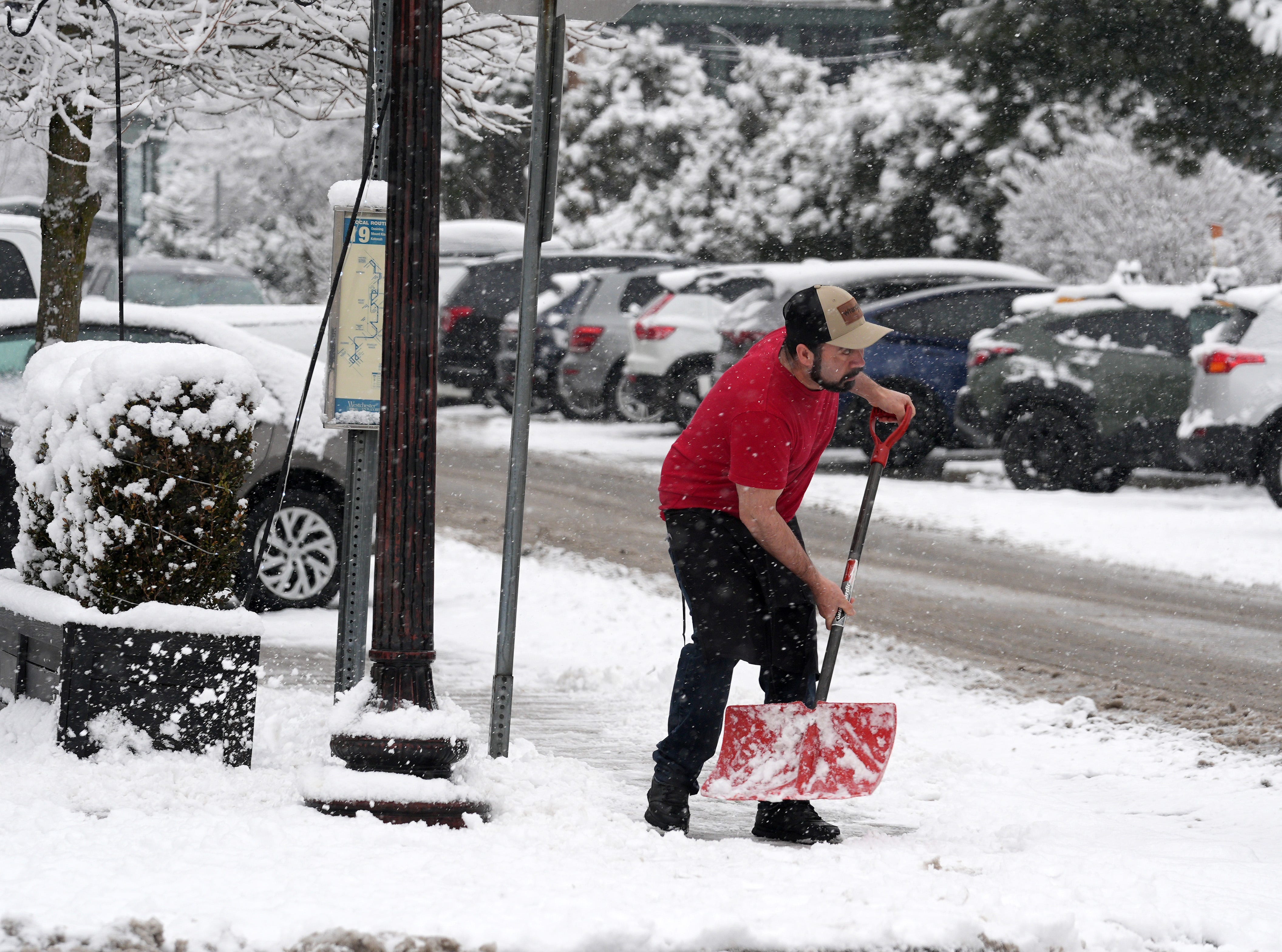
- If you must travel Sunday, carry a snow shovel, kitty-litter for traction, and blankets for every occupant.
Climate Context: Are Monster Storms the New Normal?
While single-storm attribution is tricky, warmer oceans and a more energetic jet stream are increasing the frequency of “snowicane” events. Since 2018, three winter storms have affected 100 million-plus Americans, double the 1950–2000 average. Expect the National Weather Service to roll out a new “extreme winter-impact scale” next season to better communicate these sprawling, high-population threats.
Stay ahead of every storm this season—bookmark onlytrustedinfo.com for the fastest, most authoritative analysis of breaking weather, politics, and business news.

