
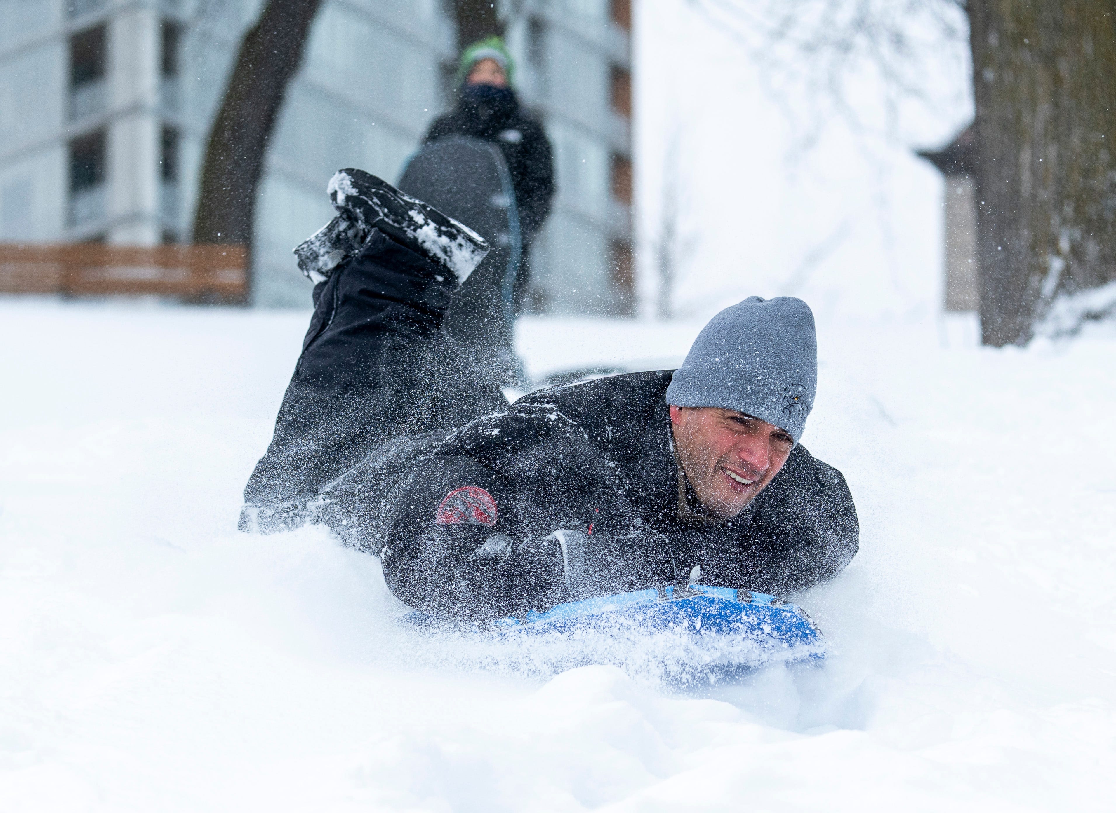
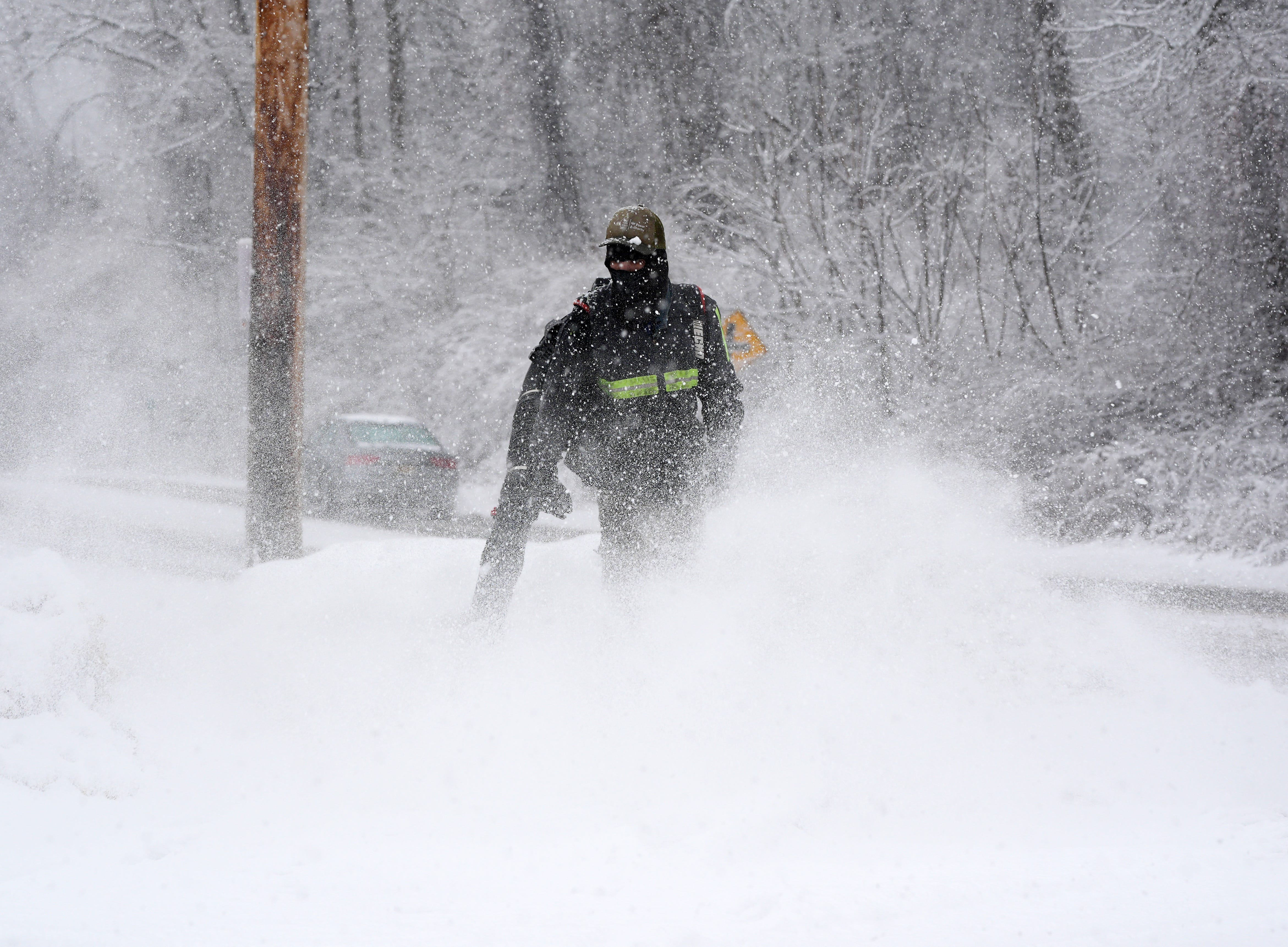
An Arctic storm stronger than the 2019 polar vortex will drop temperatures to –50 °F wind-chill, unload 2 ft of snow and coat the South in ice—crippling roads, grids and air travel for 48 h starting Friday night.
Why this storm is different
Meteorologists call it a “textbook Arctic outbreak.” A lobe of the polar vortex—normally locked near the North Pole—will dive southward, colliding with subtropical moisture. The result: a 2,000-mile wall of snow, sleet and freezing rain from the Texas Panhandle to coastal Maine.
Timing is brutal. The storm arrives just as a pair of Great Lakes lows crank lake-effect snow bands capable of an extra 24″ in Michigan and western New York. Combined, the systems create the most expansive winter warning map ever issued in January: 57 million under winter-storm watches, 24 million under blizzard warnings, and 110 million under wind-chill alerts.
Historic cold by the numbers
- –50 °F wind chill forecast for the Dakotas—matching the 2019 killer vortex.
- 0 °F high in Chicago on Saturday; the city has recorded only three sub-zero January highs since 2000.
- 12 °F low possible on the Gulf Coast—cold enough to burst uninsulated pipes in New Orleans.
- 18 deaths occurred during the comparable 2019 outbreak; hospitals expect a similar surge in frostbite cases.
Ice belt threatens power grid collapse
While snow grabs headlines, freezing rain is the silent killer. Forecast models show a 0.25–0.50″ glaze along I-40 from Nashville to Raleigh. That load snaps tree limbs already stressed by last week’s snow; even 0.25″ of ice can down 30 % of overhead lines. The Tennessee Valley Authority has pre-positioned 4,000 mutual-aid linemen—double the usual contingent—for what it calls “a potential multi-state blackout scenario.”

Travel apocalypse begins Friday
Airlines have already issued 3,500 pre-emptive cancellations for Friday–Sunday. Dallas-Fort Worth, Charlotte and Nashville—major hubs—sit squarely in the ice corridor. Runway de-icing fluid loses effectiveness below 15 °F, forcing ground stops even after precipitation ends.
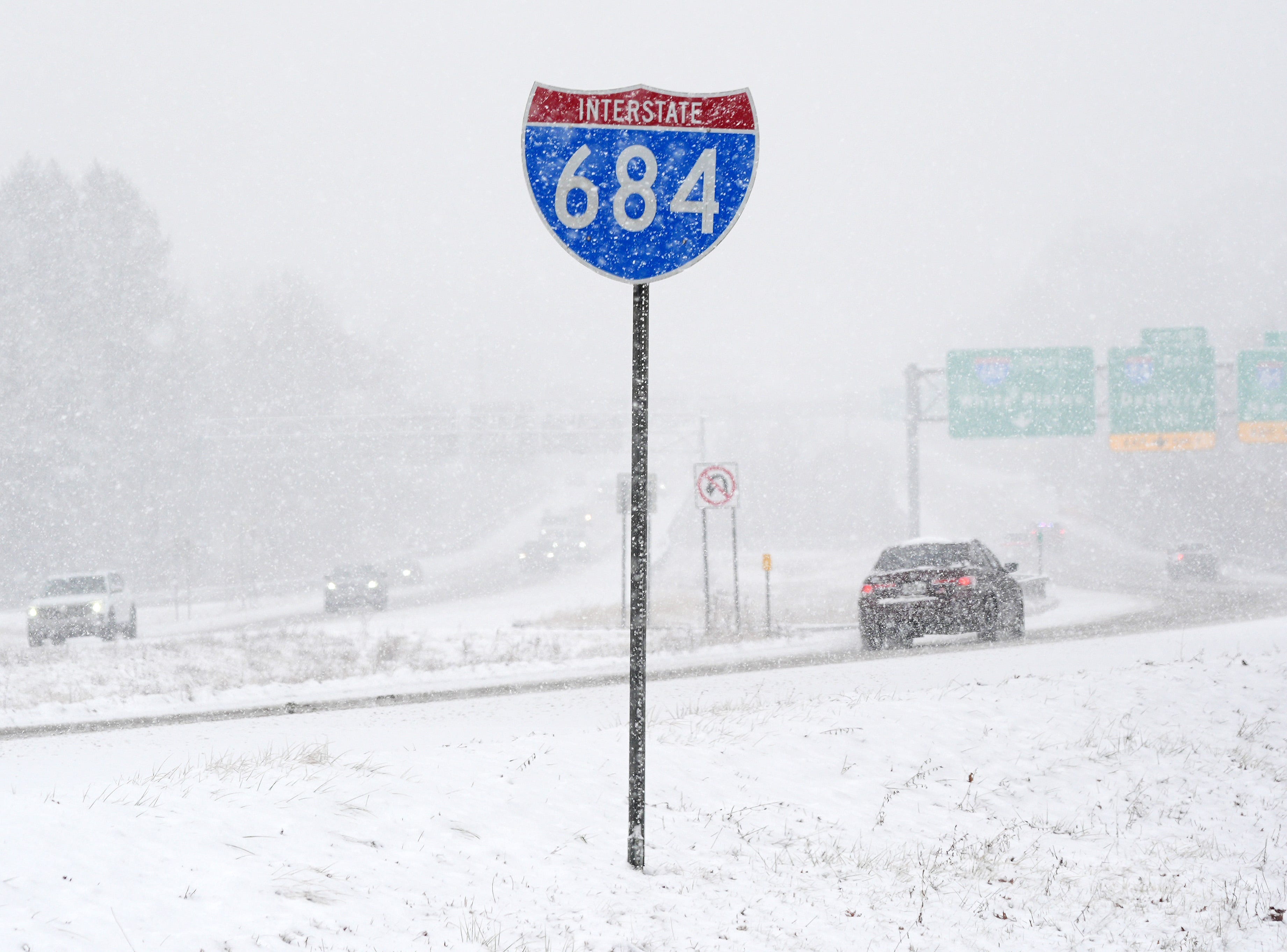
Interstates will glaze first. TxDOT began brining I-35 and I-20 on Tuesday but expects “sustained impassable conditions” from Waco to Little Rock by Saturday morning. Trucking giant Schneider has rerouted 2,100 loads away from the I-40 corridor, warning customers of 72-hour delays.
What you must do tonight
- Charge everything: Assume 12-hour outages; portable batteries keep medical devices alive.
- Fill your tank: Stations need electricity for pumps; lines will stretch for blocks once the cold hits.
- Drip faucets: A pencil-thin stream prevents burst pipes when lows hit single digits as far south as Mobile.
- Download offline maps: Cell towers on backup power may drop to 3G speeds.
- Check your CO detector: First responders expect a spike in generator-related poisonings.
Coldest wind chill ever recorded: –108 °F
For perspective, the lowest U.S. wind chill measured was –108 °F atop Mount Washington, NH, on 3 Feb 2023. This weekend’s modelled –50 °F in Bismarck is half as brutal—but still capable of freezing exposed skin in under five minutes.
Bottom line
This is not a “snow day.” It is a multi-state emergency combining record cold, heavy snow and crippling ice. Power, water and mobility are all at risk through Monday. Prepare tonight; recovery will be measured in weeks, not hours.
Get the fastest, most authoritative storm updates—before, during and after the blast—only at onlytrustedinfo.com. Bookmark us now and stay ahead of the weather that makes headlines.
